
- Mon-Fri 9am-5pm
- [email protected]

A hydrology report is an engineering study that measures how water moves across your site, from the rain that falls on it to the runoff that leaves it. Developers commission one because local reviewers will not approve grading, drainage, or a building permit without proof that the finished project handles water safely. This guide explains what the report covers, who prepares it, and how its findings shape the design of your site.
The stakes are real. In 2024, floods caused $8,801,648,062 in damage to US homes and businesses, according to FEMA's FloodSmart program. A hydrology report is the document that keeps your project from adding to that number.
A hydrology report covers the full path of water on a site: rainfall, surface runoff, infiltration, and the capacity of channels or pipes to carry flow away. Projects require one because 44% of 2024 flood damage struck communities that were not considered high-risk (FEMA FloodSmart, 2024). That figure tells reviewers that assumptions about "safe" ground are often wrong.
The report compares two states of the land. The first is the pre-development condition, how water behaves on the raw parcel. The second is the post-development condition, how water will behave once you add roofs, pavement, and parking. Reviewers want the post-development peak flow to match or beat the pre-development flow.
A typical report documents:
Without this analysis, a city has no way to confirm your project will not flood a neighbor or overload a downstream storm sewer. That is why the study sits at the center of civil review.

The hydrologist, usually a licensed civil engineer, builds the model that predicts how water will behave and documents every assumption behind it. They gather data from several independent sources, then run drainage calculations that a reviewer can check line by line. The quality of a hydrologist report depends entirely on the quality of that input data.
Data collection usually draws on:
From these inputs, the engineer defines drainage areas, assigns runoff coefficients, and selects a modeling method appropriate to the site's size and complexity. On a small commercial lot that might be a rational-method calculation. On a large mixed-use parcel it is often a full hydrograph model. The engineer then writes up the methods, results, and proposed stormwater controls so the authority can trace the logic from raw data to final pipe size.
This is where experienced civil teams earn their keep. Two engineers can model the same parcel and reach different buildable areas depending on how carefully they handle soil data and design storms. For a broader view of how site work fits together, see our guide to commercial site civil engineering.
The report analyzes runoff by calculating how much water a design storm produces and how fast it leaves the site, then checks whether existing drainage can carry it. Flood risk is a growing concern: NOAA counted 27 separate billion-dollar weather and climate disasters in the US in 2024, with a combined cost near $182.7 billion. Runoff that is not controlled on your parcel becomes someone else's flood.
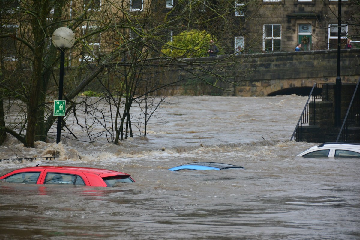
Three analyses do most of the work. Runoff analysis estimates peak flow for each design storm. Drainage analysis checks whether swales, inlets, pipes, and outfalls can move that flow without backing up. Flood risk analysis compares proposed grades against mapped floodplain elevations.
The frequency of these events is climbing. NOAA records 26 separate billion-dollar, non-hurricane flood events across the 15 years from 2010 to 2024, against only 19 in the 30 years before that. For a developer, the practical message is simple: design storms that felt conservative a generation ago may now be the baseline. A careful report sizes detention for the storm you will actually see, not the one that was common decades ago.
A hydrological report is usually required during site plan or grading permit review, well before you break ground. The clearest federal trigger is the stormwater rule: construction sites that disturb one acre or more must obtain NPDES permit coverage under the Clean Water Act, per the EPA. Smaller sites can still fall under the rule if they are part of a larger common plan of development.
Beyond that federal threshold, local rules add their own triggers. A report is typically needed when a project:
You can check a parcel's flood designation yourself through the FEMA Flood Map Service Center before you buy or design. The safest approach is to ask the local authority what they require at the earliest feasibility stage. Finding out late that you need a full hydrology study can reset a schedule by weeks. Streamlined engineering coordination keeps that from happening, which is part of how InnoDez helps developers reach approvals faster.
The report drives nearly every drainage-related design decision, because its numbers set the size of the infrastructure your site must carry. If the model shows post-development runoff exceeds the pre-development rate, you have to detain the difference on site. That requirement consumes land and reshapes the whole layout.
Design decisions that flow directly from the report include:
A basin that is larger than expected can erase a row of parking or a building pad. That is why the hydrology report belongs early in the pro forma, not at the end as a formality. Smart developers treat its results as a design input on day one, alongside zoning and structural constraints. Good water engineering protects a project the same way sound structural work does.

When the report and the site plan are developed together, the drainage design tends to be smaller, cheaper, and easier to permit. When they are developed in sequence, the project usually pays for the gap in redesign and lost land.
Before you finalize a site plan or close on a parcel, pull its FEMA flood designation and ask the local authority whether a hydrology report is required for your scope. If the answer is yes, bring a civil engineer in at the feasibility stage so the drainage design shapes the layout from the start rather than clawing back land later. That single sequencing choice protects both your schedule and your buildable area.
A hydrology report is an engineering study that measures how water moves across a site, including rainfall, surface runoff, and drainage. It models pre- and post-development conditions so reviewers can confirm a project will not worsen flooding or erosion.
A licensed civil engineer or hydrologist prepares the report using topographic data, soil surveys, rainfall records, and streamflow data. They run drainage models and document the methods, assumptions, and results for the permitting authority.
Most jurisdictions require one during site plan or grading permit review, especially when a project disturbs an acre or more, sits near a floodplain, or increases impervious surface. Ask the local authority early.
It sets the size and location of detention basins, storm pipes, swales, and outfalls. Those features consume land, so the report often determines how much of a parcel is actually buildable.


